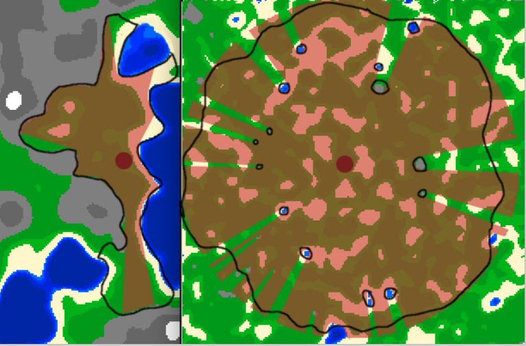
I am currently making a procedural generated map and wanted to add regions to the cities indicating their reach, the way I am achieving it currently is by expanding outwards from the city center until either the reach of the city is exceeded or water/mountain terrain is met, a bit like raytracing I assume:
This gives the issues seen above, making big ugly/unnatural holes and not filling areas out of "sight" but arguably within the city's reach. City regions are supposed to be blocked by mountains ranges and larger bodies of water, but should curve around small lakes/rocks in a natural way. I can provide my current code put I believe it's fundamentally flawed for what I want to do, and is not usable.
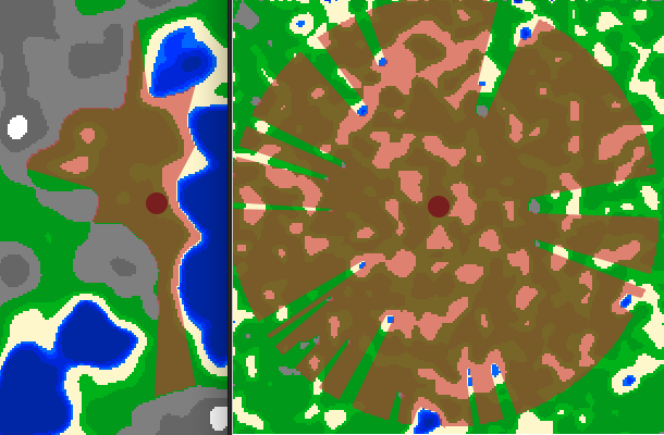
Basically the desired region I want to great should look something like this:

I am at a bit of a loss what to search for to find literature about this topic, whether it be something like an algorithm or hints of some sort, so basically I am asking what this is called. (Any tips/tricks would also be greatly appreciated)

